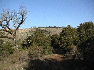
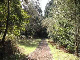
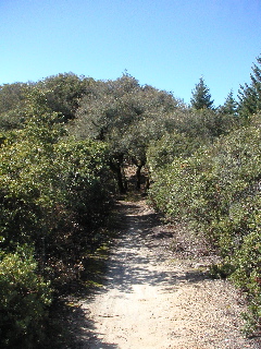
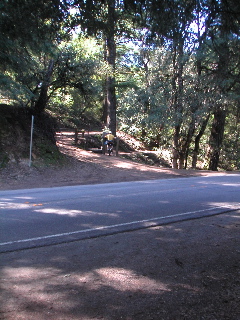
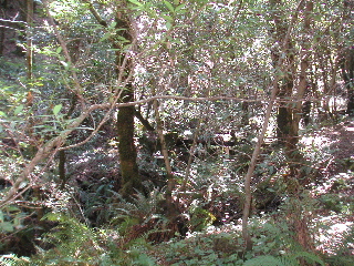
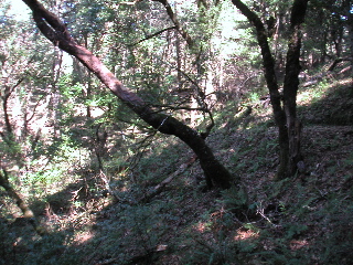
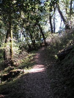
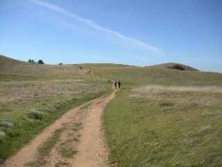
Starting down the Skid Rd. Tr., looking across Stevens Cyn at
Montebello OSP
Mile: 0.2
Already across Stevens Creek and climbing out the other side
Mile: 1.3
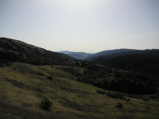
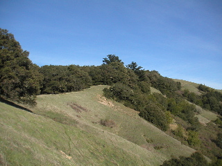
Looking back across Stevens Cyn, the first few minutes of the
race route dropping down Skid Rd. Tr. can be seen
Mile: 2.0
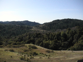
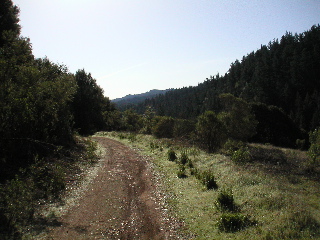
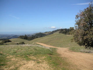
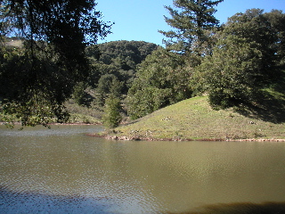
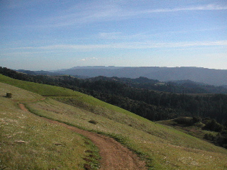
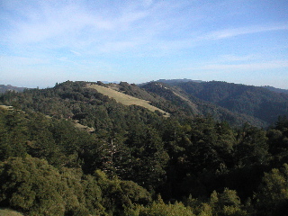
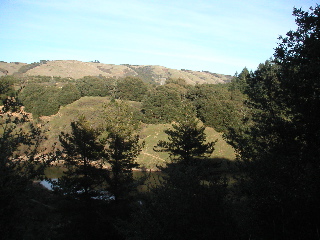
Looking Southeast down Stevens Canyon, miles 2 through 5 of
the race route
Mile: 2.0
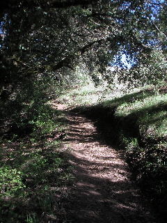
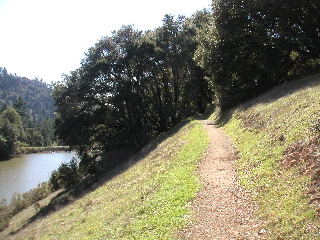
Heading down the Canyon Tr.
Mile: 3.5
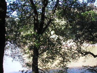
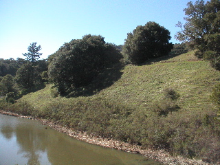
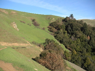
Further along the Canyon Tr., with Stevens Creek downhill to
the right
Mile: 4.0
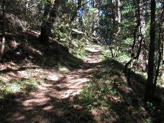
Once again having crossed Stevens Creek, heading uphill on Table
Mountain Tr.
Mile: 5.5
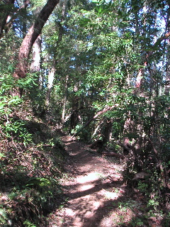
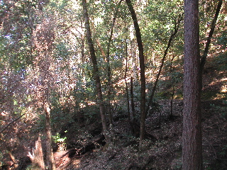
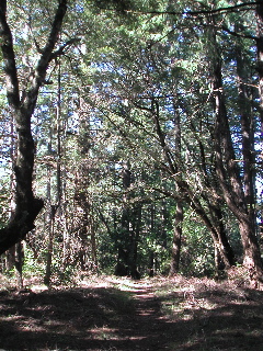
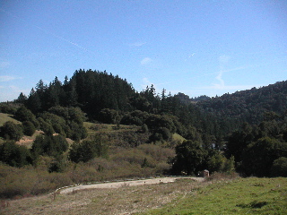
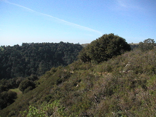
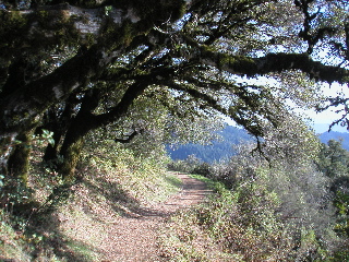
After several miles of wooded singletrack, a brief interlude
into a chaparral section near the top of Charcoal Rd. Tr. This shot looks backward
to Black Mountain
Mile: 8.0
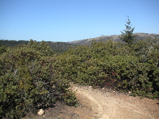
Looking forward along the chaparral singletrack
Mile: 8.1
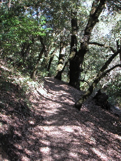
Saratoga Gap Tr. winds through the woods on its way to the turnaround
Mile: 10.5 (and also 11.4 going back)
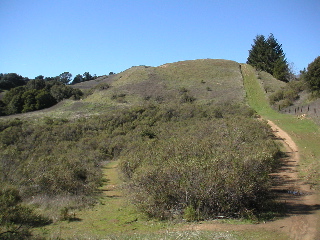
Heading down the final open hillside to the turnaround at Saratoga
Gap
Mile: 10.8 (and also 11.0)
At the turnaround a Hot Dog truck beckons from across the road
should the aid station prove insufficient
Mile: 10.9
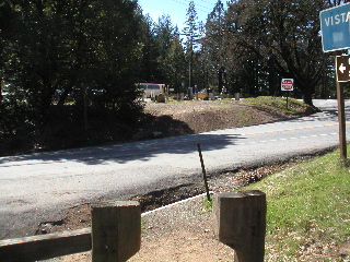
The only 20 feet of road running on the route, as we cross Skyline
Blvd. heading for Long Ridge OSP
Mile: 12.9
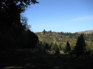
Long Ridge can be windy, but it can also be downright spectacular
with views to the Pacific Ocean. The route can be seen winding along the ridge.
Mile: 13.5
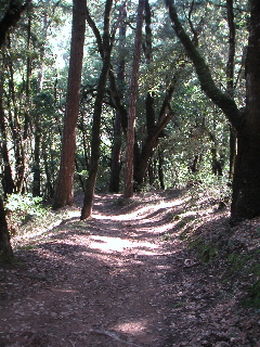
At the end of Long Ridge fireroad, the route turns into the
woods for still more singletrack
Mile: 14.7
It's hard to tell from the picture, but this hill is STEEPLY
downhill
Mile: 15.9
Coming down the hill, we look down on lovely Peters Creek
Mile: 15.9
Looking backwards up the hill gives a little better idea of
its steepness, but it's still steeper than it appears
Mile: 15.9
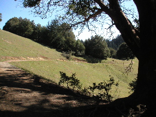
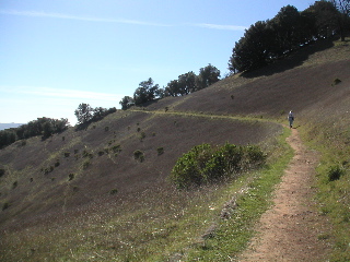
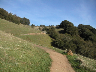
For a change, a bit of open hillside as we head from Long Ridge
OSP to Skyline Ridge OSP
Mile: 16.9
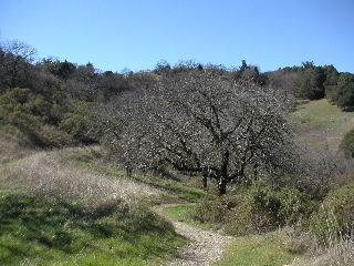
An old orchard
Mile: 17.1
Followed by still more wooded singletrack
Mile: 17.4
Coming out of the woods we wind our way along the edge of one
of the largest Christmas tree farms in the Santa Cruz Mountains
Mile: 17.6
After leaving the Chrismas trees, we enter the "cathedral",
a majestic and magical hilltop
Mile: 18.6
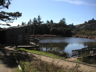
Emerging from the woods to our first view of Horseshoe Lake
Mile: 18.9
Circling the lake, headed for the aid station (and, later, the
finish line) at the parking lot
Mile: 19.0 (and 30.5)
Leaving the aid station, we can see the trail
ahead of us heading up to the hill that forms the middle of Horseshoe Lake
Mile: 19.1 (and 30.6)
Heading up Horseshoe Hill
Mile: 19.4
Heading out of Skyline Ridge, we can look backwards to see the
trail as it winds its way down from Horseshoe Hill
Mile: 20.2 (looking back at 19.6)
Leaving Skyline Ridge parking lot, heading uphill to the northern
section of the course
Mile: 20.4
Once up the hill, the Bay Area Ridge Tr. winds along hillsides
with spectacular views to the west
Mile: 20.6 (and, coming back, 29.8)
Winding trails offer beautiful views
Mile: 20.9 (and, coming back, 29.5)
More of the same. The bench may be tempting, but save it for
another day.
Mile: 21.0 (and, coming back, 29.4)
The route passes Alpine Lake just before crossing under Alpine
Rd.
Mile: 21.3
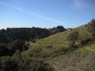
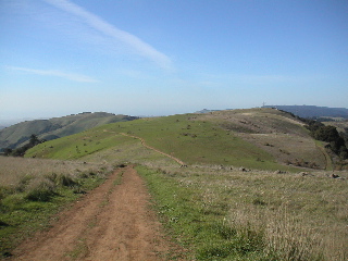
Russian Ridge is another exposed area which offers spectacular
views in all directions, but on a bad day can be very windy
Mile: 21.8
Heading North along Russian Ridge, with the route visible ahead
Mile: 22.6
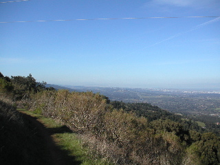
As we near the northern turnaround at Rapley Ranch Rd., cities
to the north like Oakland and San Francisco come into view
Mile: 23.1 (and, coming back, 25.8)
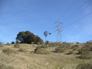
Coming back from the turnaround, we can see three generations
of technology - windmill, powerline, and cell phone towers
Mile: 25.4 (and, on the way out heading down this same hill, 23.5)
Heading down the Hawk Tr., looking towards Butano Ridge off
in the distance (and the ocean beyond)
Mile: 26.1
One of the longer downhills on the course provides a chance
to let loose, but you know you'll have to pay for it later
Mile: 26.4
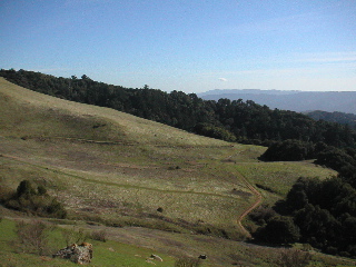
The route flattens out at the bottom of Hawk Tr. around mile
27, here, seen from above near mile 22.5
Mile: 27
Heading back uphill on the Ancient Oaks Tr.
Mile: 27.5
Nearing the top of Ancient Oaks, we can look east and see what
lies between us and the finish
Mile: 28.3
The last major uphill
Mile: 29.3 (which we passed earlier heading downhill on the way out at mile 21)
Getting close now
Mile: 29.7 (and earlier at 20.6 heading the other way)
Heading down the final hill, we can see the western leg of Horseshoe
Lake
Mile: 30.3